Field data - Meteorology
The field survey on meteorological
data was focussed on the wind forces which can induce mixing
processes in the water body. Furthermore the information gained
on the wind velocity and direction were used to evaluate and
interpret the current data, which were measured in parallel.
The hydrodynamic model applied
for this study is considering
the wind stress to calculate transport and mixing. For that
reason it is from utmost importance to
use locally recorded wind data,
because shielding effects due to buildings, trees or other orographic
features have a significant
impact on the local wind field.
Therefore wind data gained from remote meteorological stations
are only of limited value.
|
|
|
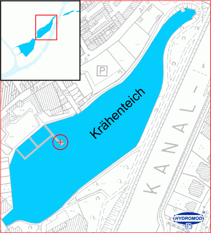
Location
of weather station |
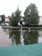
Views
of the weather station (Swimming
bath, Krähenteich) |
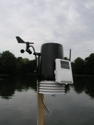
One of the major objectives of the
model studies carried out in the Krähenteich was focussing
on the current pattern governing the swimming bath area. To record
the local wind data as accurate as possible the weather station
was mounted directly at one of the footbridges of the swimming bath.
Recorded parameters: air temperature, air pressure, wind velocity,
wind direction, humidity, rain, solar radiation...
The meteorological data continuously were measured and sent via
radio to the remote recording unit.
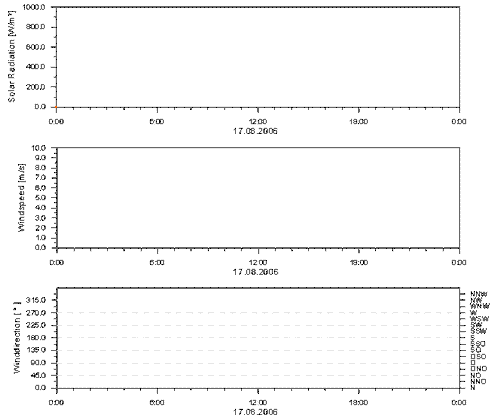
The figure shows a 24 hours time
series of the solar radiation (upper
graph), the wind velocity (median graph) and the wind direction (lower
graph). The lower graph clearly
depicts the prevailing local wind
direction in both, the Krähen-
and Mühlenteich.
The hydrodynamic model uses the recorded
wind data as driving forces for
the surface currents (uppermost layer of the model).
next ...